St. Louis Viewshed Analysis (aka ‘Million Dollar View Validator’)
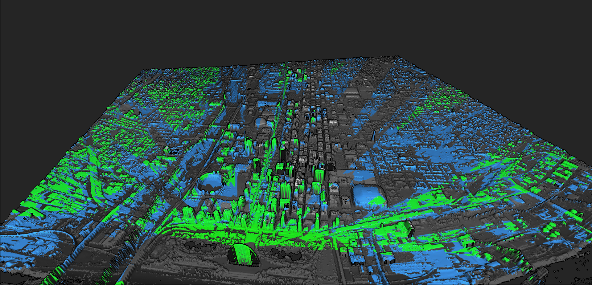
Quick geospatial analysis pipeline that computes and visualizes a viewshed to the Gateway Arch for a ‘million dollar view’

Below are some personal projects I have been working on to expand my geospatial skills. Click them for an in-depth overview and links to their GitHub repositories.
Quick geospatial analysis pipeline that computes and visualizes a viewshed to the Gateway Arch for a ‘million dollar view’
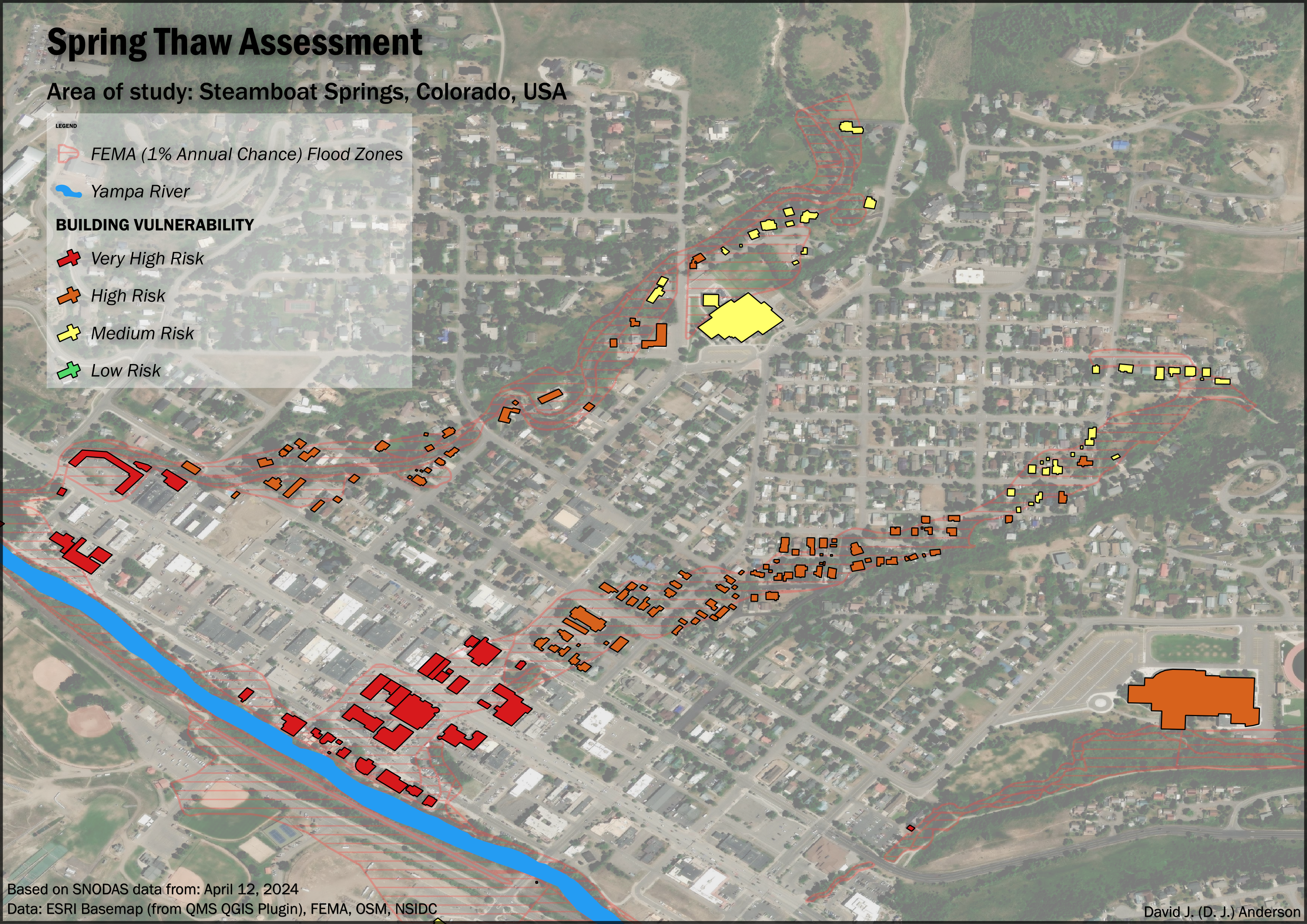
A spatial analysis project that identifies residential properties at highest risk of flooding during spring snowmelt by integrating FEMA flood zones, histori...
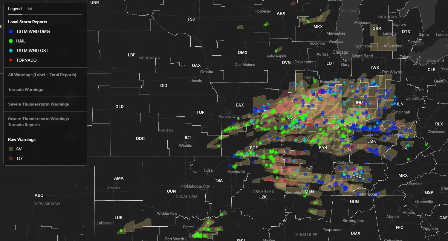
A spatial data pipeline that evaluates the accuracy of NWS convective warnings by joining them against ground-truth Local Storm Reports (LSRs) using DuckDB’s...
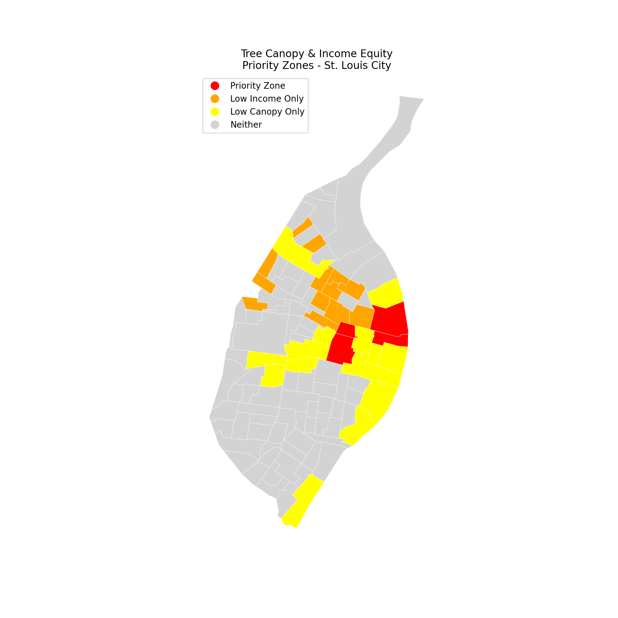
Analyzing tree canopy equity in St. Louis City using NLCD 2023 raster data + ACS 5-year estimates.